Shown below are some example types of displays that I am investigating. This basic application will have the ability for people to point at Java Archives (JAR files) and have this application discover the modules that are present there, remember the jar file and modules, and make the modules available for use. So, for different APRS applications, this application can serve as a basic container for the modules that are needed.
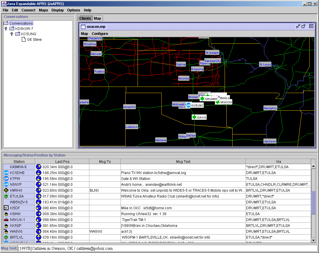
This is the central USA map showing the Oklahoma area.
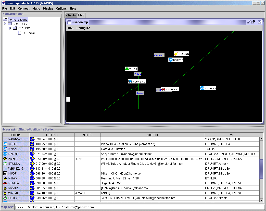
This image shows the DOS mapping pane for the Tulsa Oklahome area in the USA.
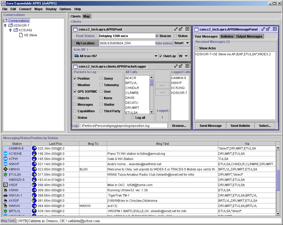
This shows the Clients pane the shows some of the example tools/clients
that I am creating to exercise the APIs as I put them together and to provide
me some things to use on the I-Opener
in my van.